

Antique Hand-Colored Map of "Isle de Crete" from Alain Manesson Mallet, Circa Late 17th Century
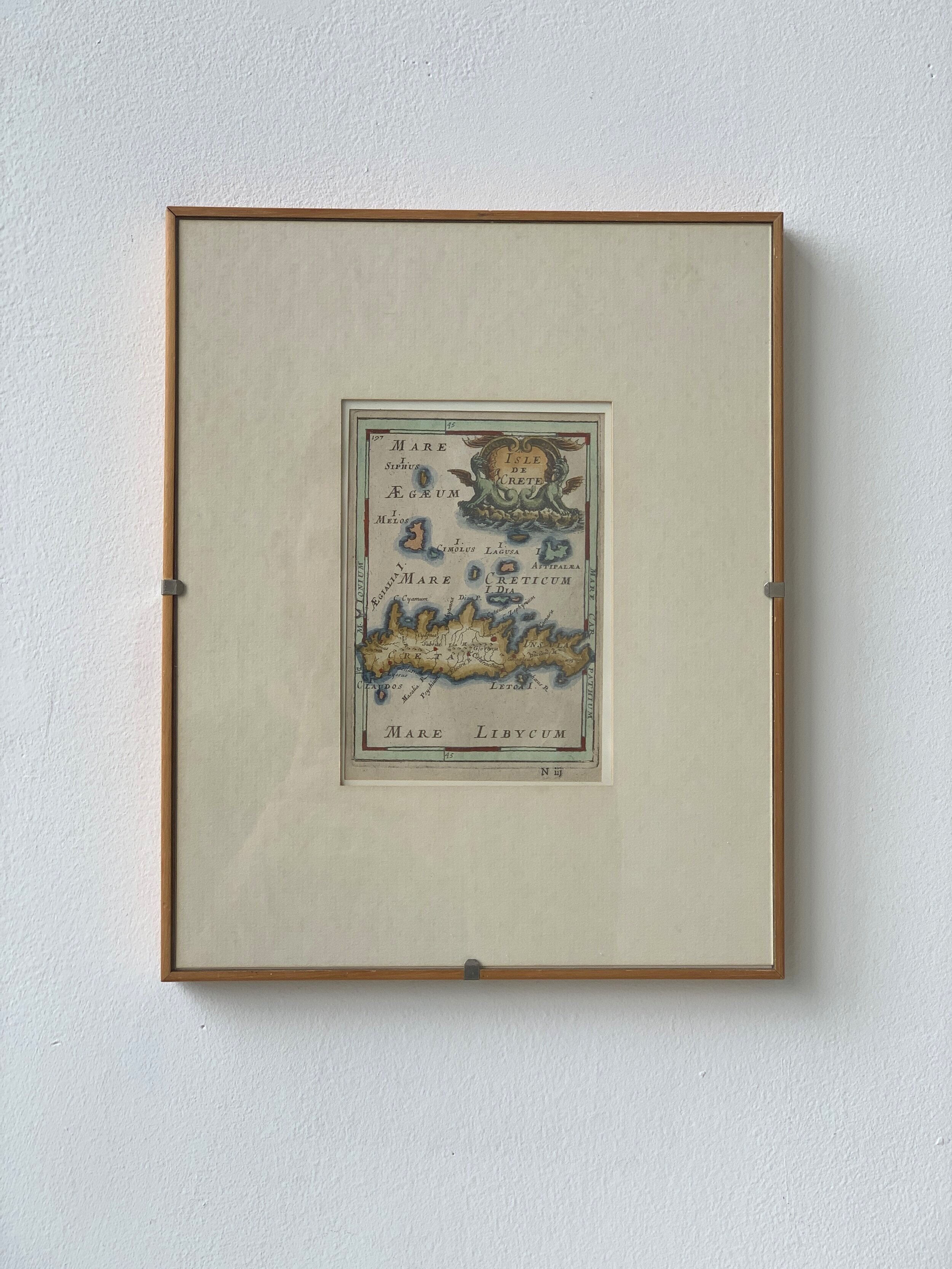
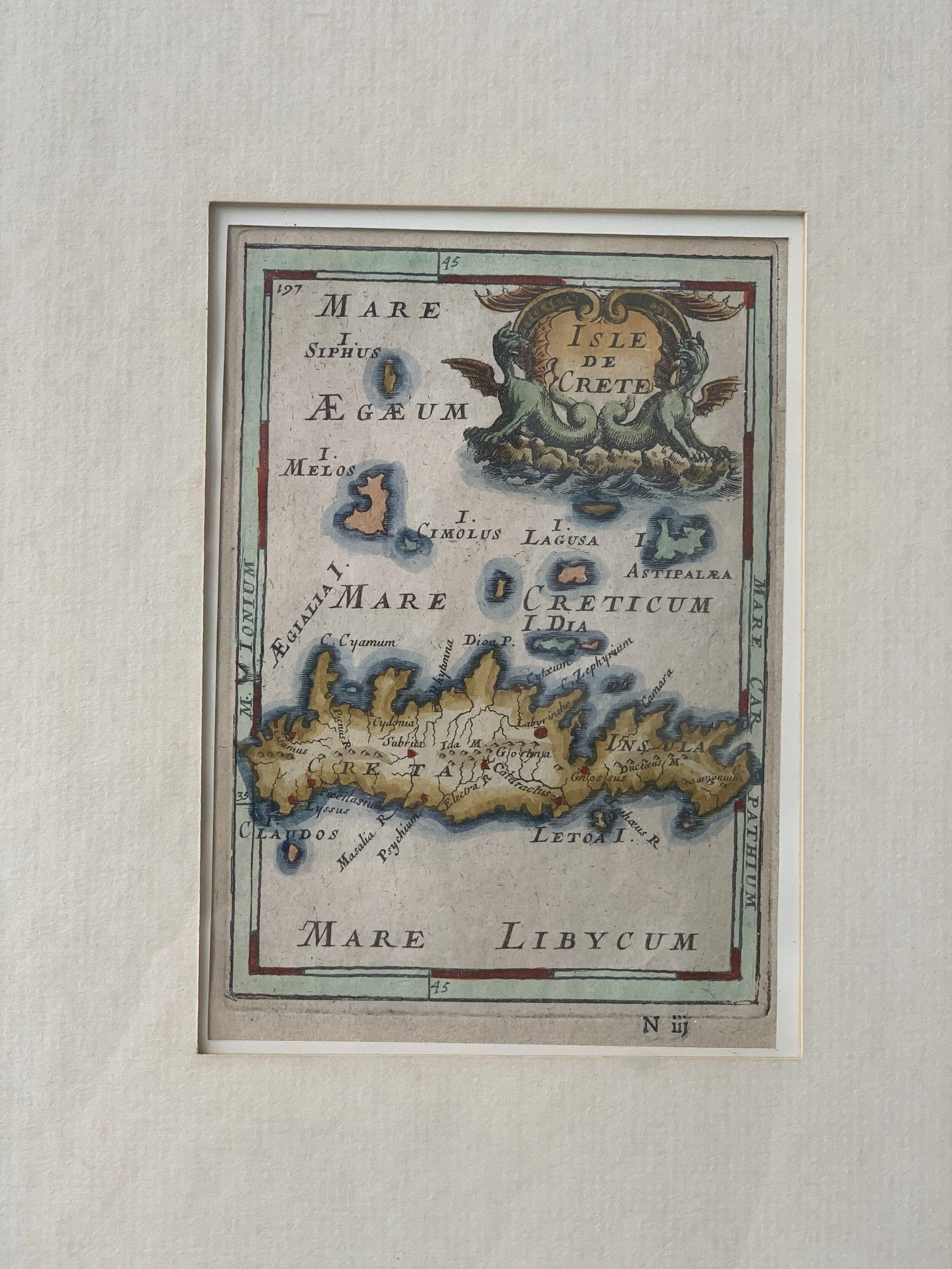

Antique Hand-Colored Map of "Isle de Crete" from Alain Manesson Mallet, Circa Late 17th Century
$178.00
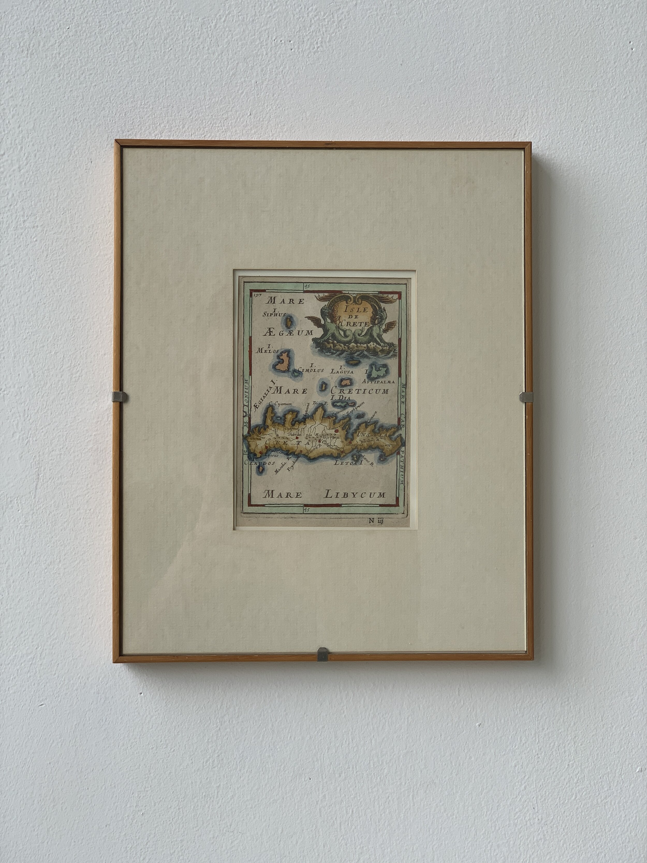
Antique Hand-Colored Map of “Isle de Crete” from Alain Manesson Mallet, Circa Late 17th Century. Hand-colored in shades of red, green, blue and ochre. Alain Manesson Mallet (1630–1706) was a French cartographer and engineer. The reverse of the map is text. Framed in a blond wood frame and white mat.
Condition: Excellent vintage condition. Light wear to frame.
Size Me Up: 12 1/8” Height x 9 3/4” Width x 3/4” Depth
sold out